-40%
139 maps RHODE ISLAND old state PANORAMIC genealogy HISTORY DVD
$ 3.16
- Description
- Size Guide
Description
Your browser does not support JavaScript. To view this page, enable JavaScript if it is disabled or upgrade your browser.Click Here. Double your traffic. Get Vendio Gallery - Now FREE!
Rare Map Collection
This DVD is part of our Historic Map and Atlas Collection.
We have dozens of Atlas maps on DVD and CD ranging from the 1500s to the 1900s covering many areas and topics.
Please Check our Ebay Store for what's available.
FOR MANY MORE EDUCATIONAL CD TITLES
ON THIS AND MANY OTHER SUBJECTS
PLEASE VISIT OUR EBAY STORE
VERY LARGE HIGH RESOLUTION
MAP COLLECTION
ON DVD!!
(please see full table of contents and sample illustrations below)
This DVD Contains
139 Maps of
Rhode Island
Including
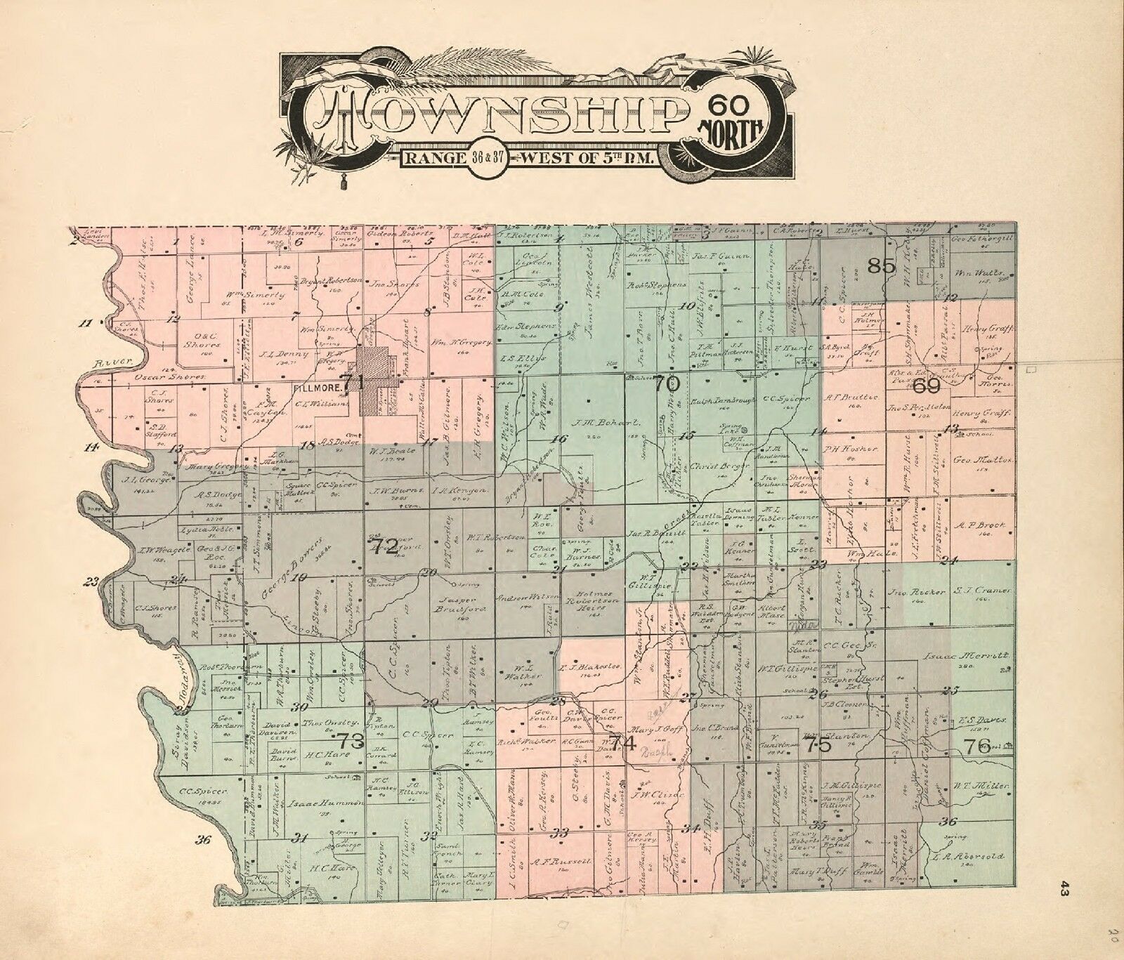
4 PANORAMIC MAPS
of various Rhode Island Cities
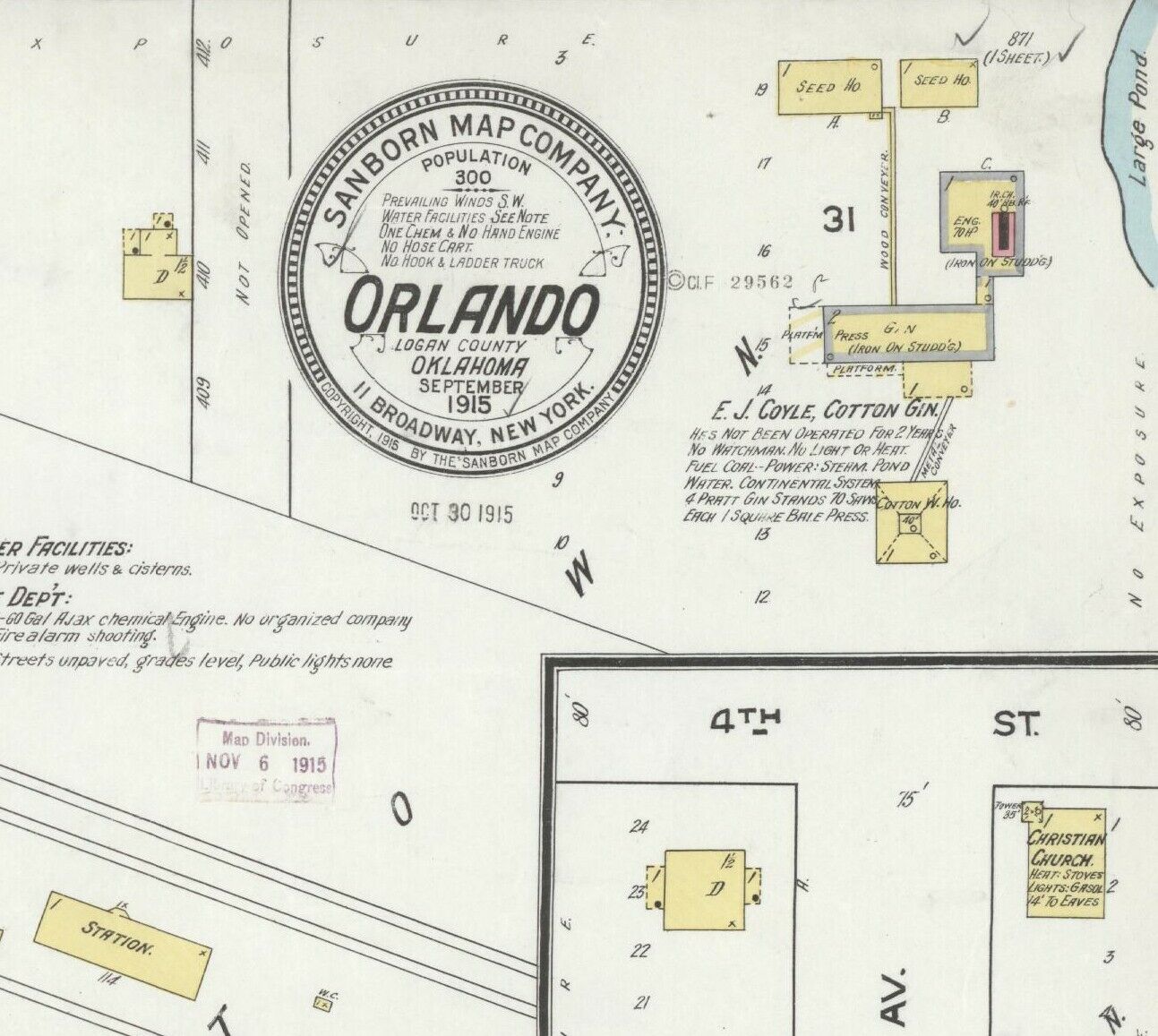
These are scans of the
ORIGINAL
maps by various Cartographers.
on DVD
System requirements
PC or Mac compatible.
Files are simple PDF files with a basic HTML interface (just like viewing a webpage)
Works with ALL versions of Windows.
Maps of
Rhode Island
0028035
Arrowsmith, Aaron; Lewis, Samuel)
1812
Rhode Island.
0089012
Bradford, Thomas G.
1838
Rhode Island.
0122008
Carey, H. C. ; Lea, I.
1822
Map Of Rhode Island.
0285011
Finley, Anthony
1831
Rhode Island.
0327013
Hopkins, Griffith Morgan
1875
v.1 pl.L Ward 2.
0632009
Morse, Jedidiah
1794
Rhode Island.
0845008
Reid, John ; Winterbotham, W.
1796
State of Rhode Island.
2436040
Arrowsmith, Aaron); Lewis, Samuel
1804
Rhode Island.
2501006
Henshaw, Frances H.
1828
Rhode Island.
2542007
Carey, Mathew ; Harris, Caleb ; Harris, Harding
1795
State of Rhode Island.
2746004
Sotzmann, Daniel Friedrich
1797
Rhode Island.
2862029
Carey, Mathew
1796
State of Rhode Island.
3951001
Blaskowitz, Charles ; Faden, William
1777
Topographical Chart of the Bay of Narraganset.
4015000
Winsor, Asa
1842
Winsor Farm.
4453013
Goodrich, S.G. ; Bradford, Thomas G.
1841
Rhode Island.
4520015
Rand McNally and Company
1879
Rhode Island.
4577010
Carey, Mathew
1814
State of Rhode Island.
4584050
Lucas, Fielding Jr.
1823
Rhode Island.
4834001
Geological Survey (U.S.)
1891
Contents: Rhode Island atlas.
4834002
Geological Survey (U.S.)
1891
R.I. index map.
4834004
Geological Survey (U.S.)
1891
R.I. sheet 1.
4834005
Geological Survey (U.S.)
1891
R.I. sheet 2.
4834006
Geological Survey (U.S.)
1891
R.I. sheet 3.
4834007
Geological Survey (U.S.)
1891
R.I. sheet 4.
4834008
Geological Survey (U.S.)
1891
R.I. sheet 5.
4834009
Geological Survey (U.S.)
1891
R.I. sheet 6.
4834010
Geological Survey (U.S.)
1891
R.I. sheet 7.
4834011
Geological Survey (U.S.)
1891
R.I. sheet 8.
4834012
Geological Survey (U.S.)
1891
R.I. sheet 9.
4834013
Geological Survey (U.S.)
1891
R.I. sheet 10.
4863029
Carey, Mathew
1811
Rhode Island.
4865006
Carey, Mathew
1796
Rhode Island.
pm008781
O.H. Bailey & Co.
Bristol, Rhode Island / O.H. Bailey & Co., lith. & pub.
Boston : Bailey, 1891
pm008790
Galt & Hoy.
Newport, R.I. 1878.
pm008800
Bailey, O. H. (Oakley Hoopes), 1843-1947.
Bird’s eye view of Pawtucket & Central Falls, R.I. 1877. Drawn & pub. by Messrs. O. H. Bailey & J. C. Hazen. C.H. Vogt, lith. Printed by J. Knauber & Co.
Boston [1877]
pm008810
Mason, May D.
View of the city of Providence as seen from the dome of the new State House. [Signed:] M. D. Mason.
[Providence] Providence Journal Co., c1896.
pm008811
Bailey, O. H. (Oakley Hoopes), 1843-1947.
View of Westerly, R.I. 1877. Drawn & pub. by Messrs. O. H. Bailey & J. C. Hazen.
Boston [1877]
pm008812
Chapin, J. R.
A bird’s-eye view of Providence : showing the new railroad station and State House / [drawn by] JRChapin ’94 ; executed & copyrighted by Prov. Albertype Co., Providence, R.I.
[Providence? : s.n., 1895]
pm008820
Hughes & Bailey.
Aero view of Westerly, Rhode Island 1911.
New York City, 1911
0027004
0073005
0102013
0103001
0149020
0149022
0151027
0151029
0152027
0197012
0278004
0280004
0300044
0324006
0352019
0352020
0358024
0425057
0462010
0535018
0535019
0536004
0537009
0545012
0572015
0579015
0586013
0592014
0594013
0639002
0887014
0977008
1084014
1084022
1550024
1690056
1954068
2022007
2054021
2107016
2134055
2301007
2445002
2468009
2483011
2559007
2680015
2714002
2721015
2800002
2844012
2866038
2883025
2883028
2883029
2883035
2883036
2905012
2931030
3135002
3198003
3471008
3565072
3649003
3803012
3884004
4075004
4083008
4324011
4328012
4534014
4557010
4574014
4578009
4587027
4628038
4682000
4727006
4807139
4835015
4850038
4864015
4865006
4866037
4869003
4966012
4977012
4980002
5028022
5028025
5041011
5198011
5295001
5363009
5479032
5479036
5745039
5784013
5956013
6727012
Features of this DVD
This auction is for a DVD of the maps listed in electronic form,
NOT
the maps themselves.
These maps are VERY high resolution and can be printed at FULL SCALE or LARGER for framing and display. The results are very high quality and convincing.
Ad and disk copyright 2013
Euriskodata
All Rights Reserved
Powered by
eBay Turbo Lister
The free listing tool. List your items fast and easy and manage your active items.


